
The flash flood watch which was issued for low-lying and flood-prone areas of southern and north-western parishes, has been extended to the remaining parishes locally.
The watch will remain in effect until 5pm on Tuesday, according to release from the Meteorological Service of Jamaica on Monday.
The Met Service said a large area of disturbed weather that has been producing heavy showers and thunderstorms across the western Caribbean, including Jamaica, has now been classified as 'Potential Tropical Cyclone Nine'.
"The disturbance is centred near latitude 17.6 north, longitude 82.0 west or about 397 kilometres west-southwest of Jamaica," the release said.
"The system is moving toward the north near 9 km/h. A northwestward motion is expected on Tuesday and Tuesday night, followed by a faster northward or north-northeastward motion on Wednesday and Thursday," added the Met Service.
On the forecast track, the centre of the system is forecast to be moving away from Jamaica, over the northwestern Caribbean Sea, and into the southeastern Gulf of Mexico during the next couple of days.
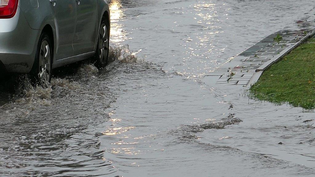
"Observational data indicates that moderate to heavy showers and thunderstorms have been affecting sections of north-western and southern parishes over the past several hours, and will continue to affect the Island throughout the period," the Met Service stated.
As a result, the Met Service said the chance of flash flooding will increase across all parishes and residents should be on the alert in case a flash flood warning is issued.
Fishers and other marine interests should exercise caution, as sea conditions will deteriorate due to thunderstorms and strong gusty winds.
Related News

Holness seeks legal advice on Integrity Commission's findings

West Indies and India record wins at Women's T20 World Cup

Gov’t launches $20,000 one-off reverse income tax credit programme