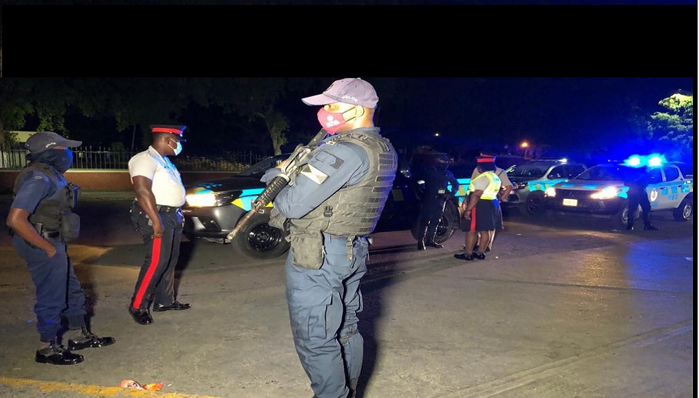

A 48-hour curfew has been imposed in four separate Police Divisional areas namely; St Andrew South, Kingston Western, St Andrew Central and St Catherine South.
The curfew began at 6:00 pm, on Sunday, January 12 and will remain in effect until 6:00 pm, on Tuesday, January 14.
The areas for the curfew are as follows:
St Andrew South, the areas east of Hagley Park Road and Marcus Garvey Drive, comprise Bowens Crescent, Waltham Park and Spanish Town Roads and Whitfield Town.
The areas of Hagley Park Road that are affected are Olympic Gardens, Penwood Road and White Lane.
All areas in Kingston Western and St Andrew Central are also under the 48-hour curfew.
St Catherine South Division
North: Along an imaginary line from Ferry district (St. Catherine) running westerly inclusive of Caymanas Estates, Caymanas Bay, Caymanas Glades section of the Edwards Seaga Highway.
Windsor Heights, Central Village to the border of the St. Catherine North Division (roundabout at the Jose Marti High school).
West: Along an imaginary line from the border of St. Catherine North Division from the Jose Marti High School, across the Rio Cobre in a south-east direction to the Lakes Pen main road to the intersection of Dyke Road, across the farmlands to the western border to the St. Catherine, leading to northerly direction to the vicinity of Hill Run, which include Clifton, Dunbeholden, Bernard Lodge to the PJ Patterson Highway (East/West).
South: Along the coastline from the vicinity of the Western border with St. Catherine North, running West to East to the Portmore Causeway encompassing Hellishire and sections of the Kingston Harbour.
East: From the south coast in the vicinity of Portmore Causeway running north to Ferry district to the Soapberry plant.
North: Along an imaginary line from the western border to Clarendon in the vicinity of Planters Hall; running easterly to the border of St. Catherine North in the vicinity of Kitson Town.
East: Along an imaginary line from Kitson Town running southerly to the southern coastline comprising Nightingale Grove, High House, Grove Farm and Bushy Park Agricultural Park.
South: Along the southern coastline to Bushy Park to the border to Clarendon encompassing the Goat Island and Old Harbour Bay.
West: Along an imaginary line from the southern coastline running northerly from the border with Clarendon to Planter's Hall.
During the hours of the curfew, all persons within its boundaries are required to remain within their premises, unless otherwise authorized by the ground commander.


